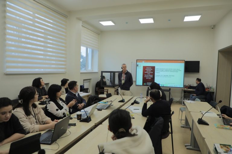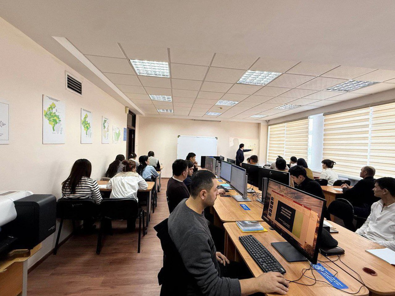
At Tashkent State Agrarian University, a practical workshop dedicated to studying soil degradation processes using ArcGIS and QGIS geographic information systems was organized for students by the faculty members of the Department of Agrochemistry and Soil Science. During the workshop, participants learned how to calculate vegetation indices such as NDVI, SAVI, and EVI based on Sentinel-2 multispectral data, determine soil degradation levels, and present the results in the form of thematic maps. In addition, extensive attention was given to the use of Sentinel-2A and Sentinel-2B satellite data through the Copernicus Data Space Ecosystem platform, as well as to issues of map classification and soil degradation assessment.

Practical sessions included working with raster and vector data using the ArcGIS software, delineating soil degradation classes, and preparing maps based on professional cartographic design principles.
Social networks: